Safe mountain weather decisions rely on three factors: tracking sustained summit ridge winds rather than valley forecasts, watching your barometer for rapid pressure drops, and setting an unbreakable turnaround time (like 1:00 PM) before setting out into the dark.
Why Valley Forecasts Lie About the Summit
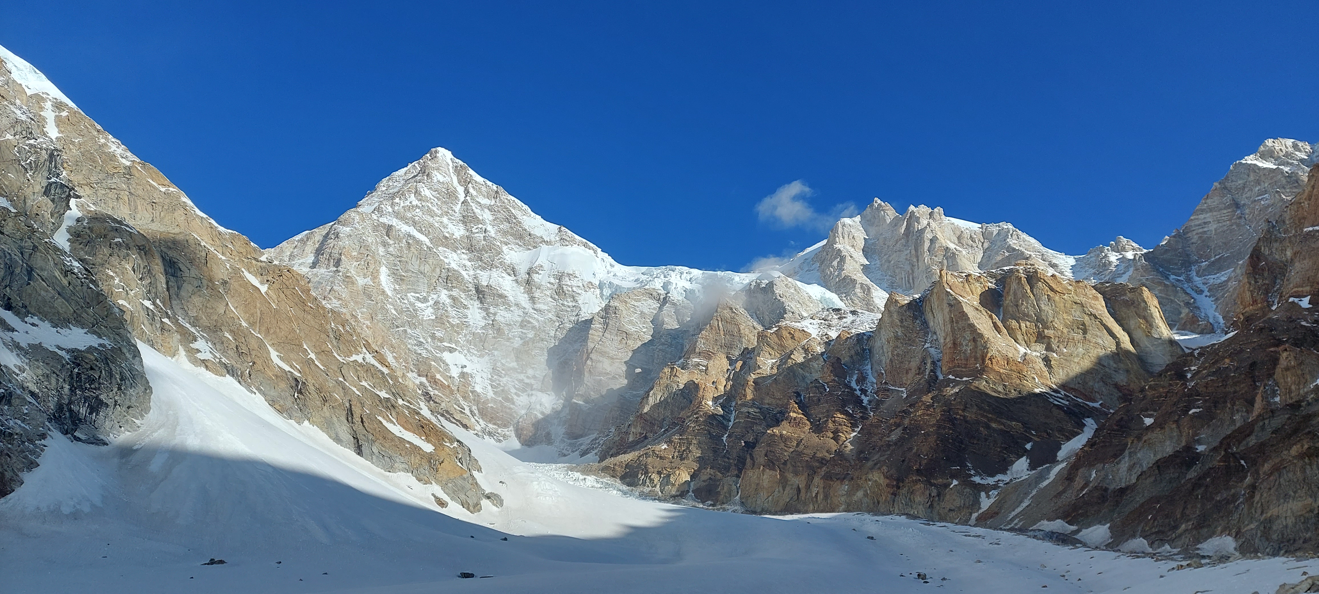
When you check your phone weather app in Leh, you might see "Sunny, 18°C, light breeze." But on the summit ridge of Mount Kun or Kang Yatse I just 60 kilometres away, the temperature may be -28°C with seventy-kilometre gale winds that can freeze exposed skin in under ten minutes.
High mountains generate their own localized microclimates. As warm valley air rises and meets freezing upper atmosphere layers, moisture condenses rapidly into clouds, building thunderstorms or whiteout blizzard conditions in a matter of hours.
Always look at high-altitude atmospheric forecasts that report conditions specifically at the 500hPa and 400hPa barometric levels (roughly 5,500m to 7,200m), paying special attention to wind gusts and freezing elevations.
Reading Cloud Formations: The Sky's Early Warning Signs
Lenticular Clouds (The Flying Saucer): Smooth, lens-shaped clouds hovering directly above high peaks indicate severe jet-stream winds ripping across the summit ridge. Even if the sky is clear, lenticulars warn that stepping onto that ridge could expose you to hurricane-force gales.
Cumulus Mushrooming: Puffy white clouds that begin rising like cauliflower heads by 10:00 AM signal rapid thermal convection. In the Himalaya, this almost always means afternoon snow flurries, gusting winds, and zero visibility by 2:00 PM.
Mare's Tails (Cirrus Wisps): Thin, feathery clouds drifting high in the blue sky often mark the leading edge of a warm frontal system 24 to 36 hours away. When you spot them, you know your weather window is closing soon.
The Altimeter Watch as an Early Barometer
Modern GPS and altimeter watches have built-in barometric pressure sensors. When you are sitting in base camp and your watch suddenly tells you that your elevation just increased by 60 metres even though you haven't moved from your camp stool, that means atmospheric air pressure is dropping fast.
A rapid pressure drop of 4 to 6 millibars over three hours is the most dependable warning sign of an approaching storm front. When you see that pressure plunge, you do not launch a midnight summit push; you secure your tents, weigh down snow flaps with rocks, and wait.
The Unbreakable Turnaround Deadline
The greatest danger in mountaineering is "summit fever"—the psychological unwillingness to turn back when you are within a few hundred metres of your goal, even as weather deteriorates and hours slip away.
Before roping up for a summit push, our lead guides establish an absolute, non-negotiable turnaround deadline—typically 12:30 PM or 1:00 PM. No matter how close the ridge looks, when that watch hour strikes, the entire team turns around and descends.
Remember: Reaching the summit is only the halfway mark. Standing on the peak is optional; getting safely back to high camp before the storm hits is mandatory.
“The mountain will let you know when it is ready to receive you. Never argue with the sky; when the weather turns, turn with it.”